


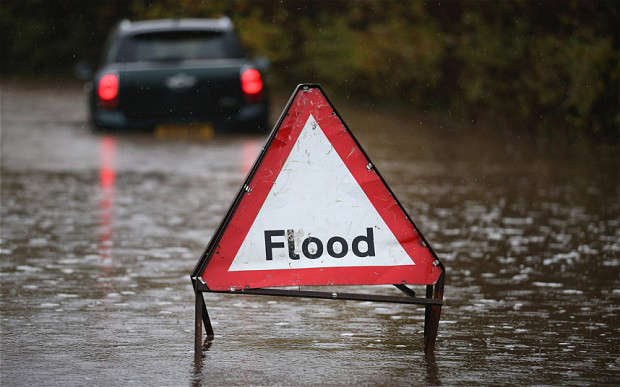
The Met Office has issued a yellow weather warning for thunderstorms across the region, with heavy rain, strong winds and possible flooding expected between 9pm on Friday 18 July and 6pm on Saturday 19 July.
The warning, which covers Bedford, St Neots and much of the East of England, comes as forecasters predict “widespread, often heavy and thundery rain” potentially lasting throughout Saturday.
The intensity and speed of this weekend’s rainfall could cause localised disruption. Some areas may see 20 to 30mm of rain in under an hour, and up to 90mm in three hours, leading to a risk of surface water flooding, especially where the ground is dry and unable to absorb water quickly.
Locally, downpours of around 18mm are possible, depending on where the heaviest cells pass through. There is also the chance of gusty winds, frequent lightning, and hail.

Authorities are urging residents to take precautions, especially when travelling.
A spokesperson for Bedford Borough Council said:
“Please take care if you’re on the roads — heavy rain can quickly turn familiar routes into water hazards. Slow down, increase your stopping distance, and never drive through floodwater. It’s deeper and more dangerous than it looks.”
The storm risk follows a prolonged dry spell, which has left the ground across parts of the region hard and compacted. This means rainwater is more likely to run off into streets, drains, and low-lying areas rather than soaking into the soil, increasing the risk of flash flooding.
Local authorities and emergency services are monitoring the forecast closely and are reminding the public to check travel plans, stay updated, and report any localised flooding or blocked drains.
 “Avoid area” Major Closures Around Black Cat Roundabout This Weekend
 VJ Day 80 | St Neots Remembers
 Tributes paid to motorcyclist killed in A6 collision near Souldrop
 Teen arrested after hoax stabbing and house fire reports in St Neots
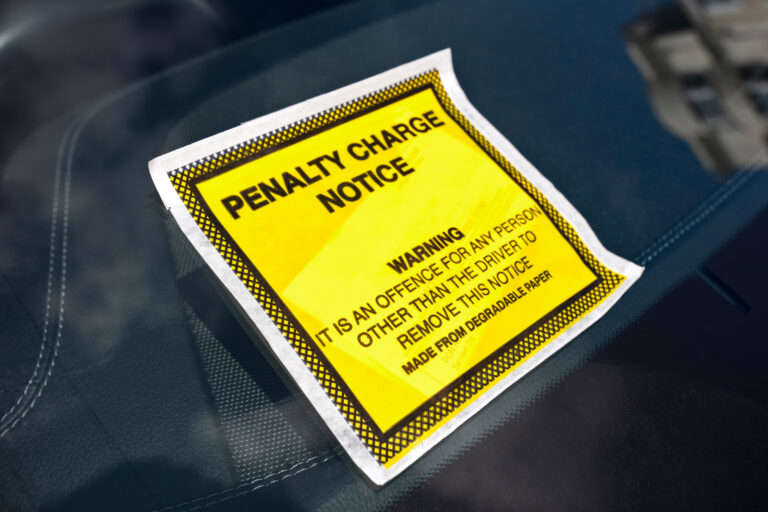 54 parking warnings in St Neots as council takes over enforcement


Comments
Add a comment